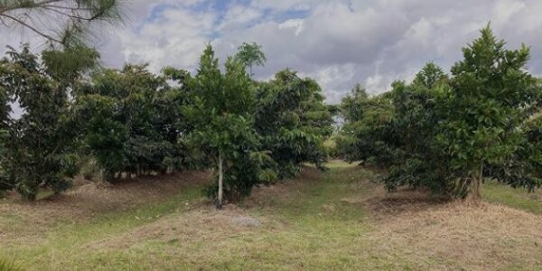
New Coconut and Fruit Trees of the Triangle Section
Coconut Intercropping Map
The map of the triangle shows you the detailed layout of one of Jessie’s Sunshine Farm’s organized planting sections. It highlights the precise grid system used for intercropping—showing numbered rows and plots where coconut trees (the main canopy) are interplanted with other crops under a structured distance system (commonly 6 m to 12 m spacing). The layout demonstrates how every tree and access route has been surveyed and measured to support uniform growth, efficient maintenance, and long-term farm management.
Numbering System
Each numbered plot (e.g., 1–30) represents a designated planting point within defined rows and sectors, ensuring clear identification for weeding, pruning, fertilizer application, and harvest tracking. Labeled pathways such as Triangle Road, Upper Access Road, and East Barangay Road provide easy access for workers and machinery while preventing soil compaction within planting areas.
The map also indicates non-existing trees and walkways, helping with future replanting or development plans. In essence, this map is a visual tool for spatial planning and intercropping coordination, enabling Jessie’s Sunshine Farm to maximize land productivity while maintaining systematic records for every tree and crop within the Triangle Section.